The Narrows, Zion National Park, Utah, USA. The park is famous for the iconic red canyons, rivers, lakes and waterfalls. Meanwhile the Narrows provides one of the most premier hiking trails in the area. The site was even ranked no. 5 in the list of America’s Best 100 Adventures by National Geographic!
Basically the Narrows is a narrow gorge with steep red walls. It stretches for 26 km (16 mi) and at times is 6 m (20 ft) wide, while the cliffs reach 610 m (2000 ft) high. The Virgin River runs between these vertical cliffs, but it is shallow so hikers can simply wade through it. One can hike various distances, while completing the route can take a full day. In addition there are 12 campsites, where one can spend a night and continue the trip the next day.
Why to go there?
The popular route provides wonderful views and exciting adventure. Great facilities, trails and campsites make the trip easier and more accessible for anyone. Keep in mind that a comfortable footwear and a hiking stick are recommended to bring with you.
When to go there?
Spring and summer are the best time to hike the Narrows, since the water levels are low and it is warm. Meanwhile in autumn and winter the freezing water and high levels are too challenging.
How to get there?
Most of the tourists begin to hike from the Temple of Sinawava, reached by the Riverside Walk. You can get to the park by bus from various cities like Las Vegas or Salt Lake City.
Also read about Subway – another interesting feature in Zion
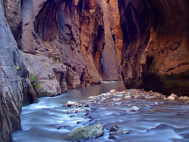
Photo by Unknown
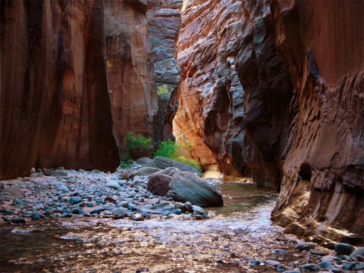
Photo by Unknown
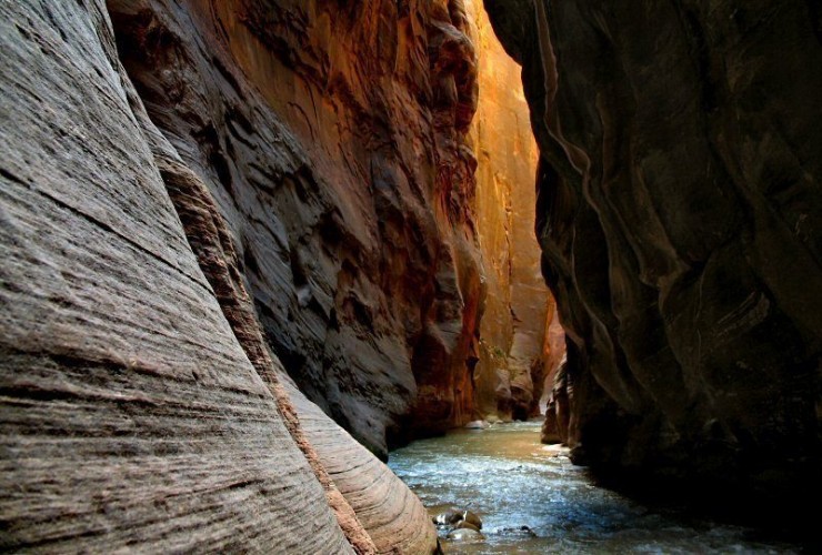
Photo by Unknown
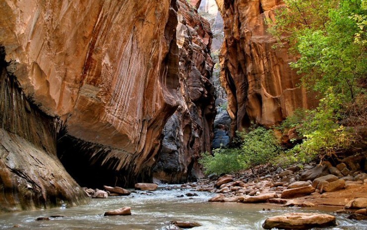
Photo by Unknown
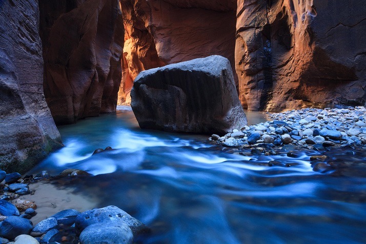
Photo by travelpix photography
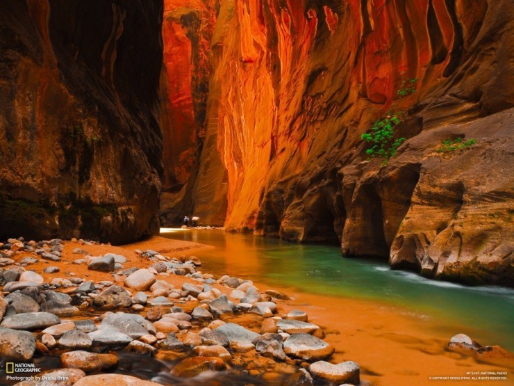
Photo by Ovidiu Ifrim
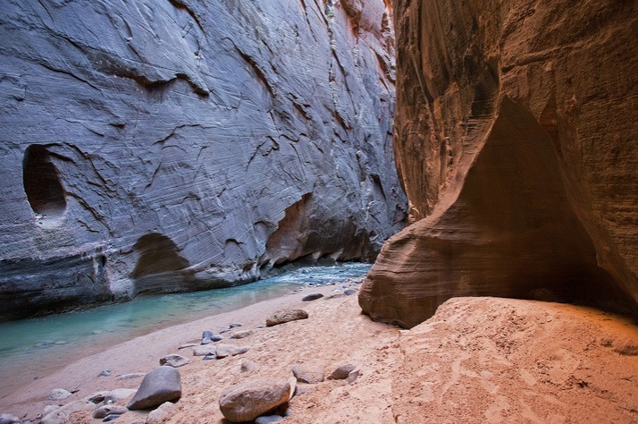
Photo by Karl Klingebiel
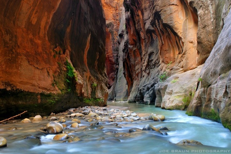
Photo by Joe Braun
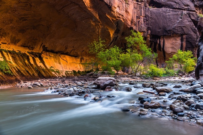
Photo by Chuck Jason
Comments
Post a Comment